
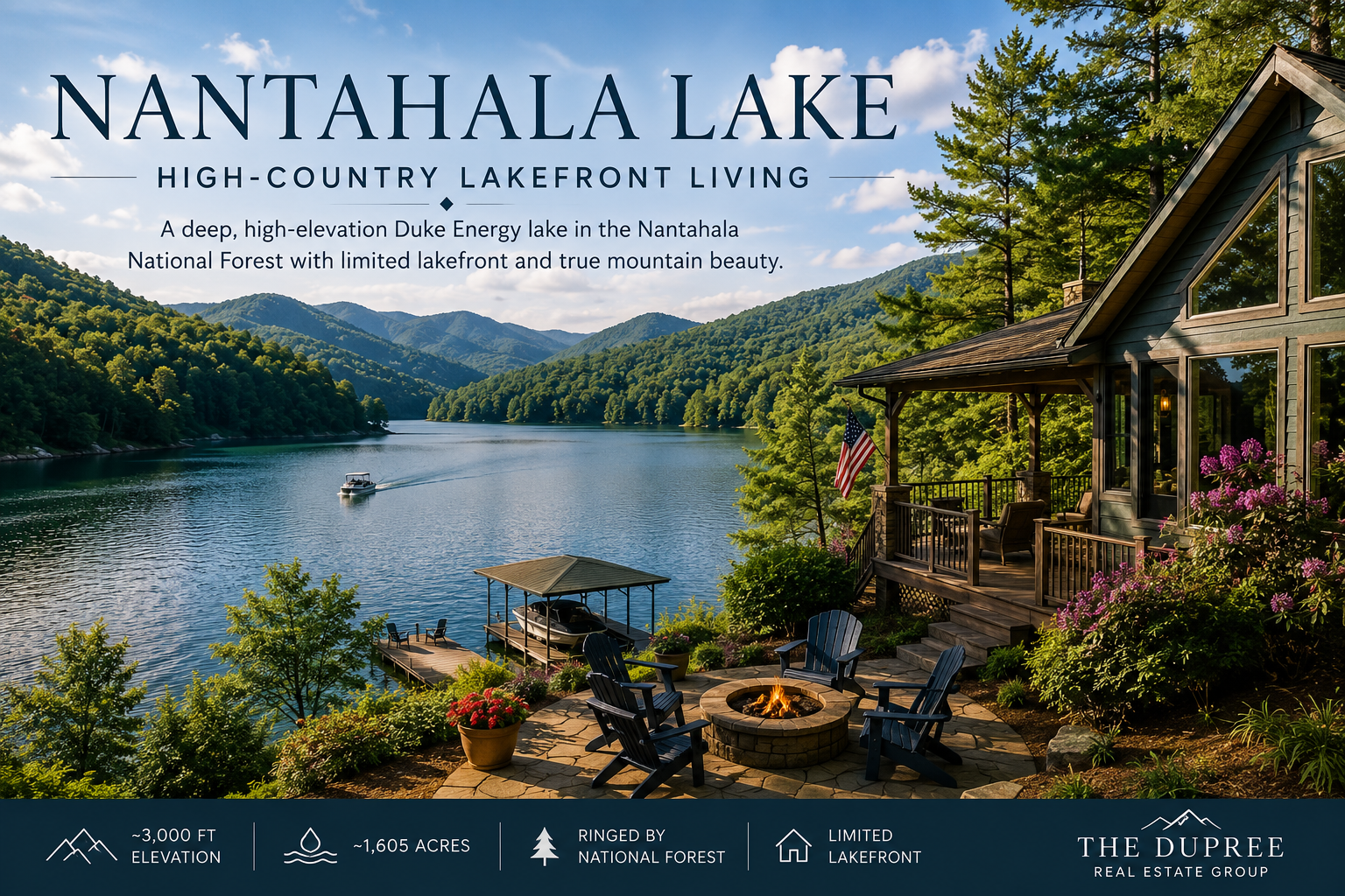
High in the mountains above the Nantahala Gorge sits a lake that feels like a world apart — cold, clear, and ringed almost entirely by national forest. Nantahala Lake, at roughly 3,000 feet of elevation in Macon County, is one of the highest and deepest lakes in the region, and its real estate is as distinctive as its setting. Because the lake is managed by Duke Energy rather than the TVA, and because so much of its shoreline is protected Nantahala National Forest, lakefront here is limited, private, and prized. For buyers drawn to cool summers, deep water, and genuine seclusion, Nantahala Lake is in a class of its own.
Key Takeaways
- Nantahala Lake sits at about 3,000 feet elevation in Macon County, NC, within the Nantahala National Forest.
- It covers roughly 1,605 acres and is notably deep and cold, formed by Nantahala Dam in 1942.
- The lake is managed by Duke Energy, not the TVA, which shapes how shoreline and docks work.
- Much of the shoreline is national forest, so private lakefront is limited and sought-after.
- The high elevation means cool summers and real winters — confirm year-round access on any property.
Where is Nantahala Lake?
Nantahala Lake lies in the Wayah area of Macon County, North Carolina, in the high country above the famous Nantahala Gorge, with a small portion of its waters reaching toward Clay County. It's tucked deep in the Nantahala National Forest, reached by winding mountain roads from the direction of Topton, Andrews, or Franklin, and it sits roughly an hour or so from the Murphy area depending on your route. At about 3,000 feet of surface elevation, it's appreciably higher than the TVA lakes to the south, which gives it cooler air, colder water, and a shorter, more dramatic season. The old community of Aquone once stood here before the valley was flooded in the 1940s, and today the lake feels remote in the best sense — a quiet, forested basin far from the busier waters of the region. Confirm current drive times for your route, since the mountain roads in are slow by design.
What makes Nantahala different?
If you've looked at the TVA reservoirs nearby — Hiwassee, Chatuge, Nottely — Nantahala stands apart in a few important ways. It was formed by Nantahala Dam, completed in 1942, and is owned and operated by Duke Energy as part of a hydroelectric project, so the controlling authority and its rules differ from the TVA system. It's strikingly deep, plunging well over a hundred feet in places, and its high elevation keeps the water cold and clear through the summer. As part of a relicensing agreement, lake operations were adjusted to hold levels higher during the summer months, which benefits both recreation and the homes along the shore. And like the most protected lakes in the region, much of its shoreline is public national forest. The result is a lake that trades the warm, busy, big-water feel of the lower reservoirs for something cooler, quieter, and more rugged.
What kinds of homes can you find?
Inventory at Nantahala is limited and tends toward the rustic and the retreat-like, in keeping with the setting:
- Lakefront cabins and homes — limited in number given how much shoreline is forest, ranging from simple cabins to custom mountain homes.
- Lake-view and forest homes — set into the surrounding ridges with views toward the water and the high peaks.
- Cabins and seasonal retreats — smaller footprints suited to summer use and lock-and-leave ownership.
- Land and build sites — for those designing from scratch, with serious attention to slope, access, septic, and winter conditions at elevation.
Because the lake is so forest-bound and high, even near-water homes can feel deeply private, with the national forest as a permanent neighbor and the seasons sharply drawn.
How do docks and shoreline work here?
As with the region's other managed lakes, the water and the shoreline at Nantahala are controlled by the licensee — here, Duke Energy — together with the Forest Service on national-forest stretches, not by the individual homeowner. That means dock and shoreline rights are not automatic with a waterfront listing, and the rules differ from the TVA process you may have encountered on other lakes. Before writing an offer on a near-water property, confirm whether the home has permitted dock or shoreline access, what is allowed along that specific stretch, and whether any existing structures are properly authorized and transferable. Verify the current requirements directly, since they can change. The payoff for all this protection is a shoreline that stays wild and a lake that never feels crowded; the homework is making sure the access you imagine actually conveys with the property.
Nantahala vs. a nearby TVA lake
| Feature | Nantahala Lake | A typical TVA lake nearby |
|---|---|---|
| Managed by | Duke Energy + Forest Service | Tennessee Valley Authority |
| Elevation | ~3,000 ft — cool and clear | Lower and warmer |
| Character | Deep, remote, forest-rimmed | Often larger and busier |
| Lakefront inventory | Very limited | Generally more available |
Neither is better in the abstract — it comes down to whether high, cool seclusion or warmer, more accessible water suits how you want to live.
Life at elevation
Owning at Nantahala means embracing the high country. Summers are noticeably cooler than down in the valleys, a genuine draw when the lower elevations turn humid, and the cold, clean water is excellent for fishing, with trout, bass, walleye, and more among the catch. The surrounding Nantahala National Forest delivers world-class outdoor recreation — hiking, the nearby gorge and its whitewater, Wayah Bald's sweeping views — and the sense of being far from it all is real. The flip side is that elevation asks more of a property: winters bring cold and the chance of snow and ice, some access roads are steep or gravel, and utilities and connectivity vary. For a seasonal retreat that's all part of the charm; for year-round living it's worth planning around. Either way, the reward is a setting few lakes in the East can match.
Why work with The DuPree Real Estate Group?
A high, remote lake with thin inventory and unusual shoreline rules is exactly where local knowledge pays off. The DuPree Real Estate Group works across the lakes of Western North Carolina and Northeast Georgia and understands how Nantahala differs from the TVA reservoirs — what to verify on dock and shoreline access, how to weigh year-round access at elevation, and how to move when limited inventory comes up. Bonnie DuPree has been guiding buyers through this region since 2007, and that experience is the difference between admiring a deep blue cove and truly understanding what you'd own. Bring your questions; this is a lake that rewards getting the details right.
Living at altitude: what high-country ownership is like
Owning a home at roughly 3,000 feet shapes the experience in ways that are worth picturing honestly before you buy. The altitude that makes Nantahala summers so refreshing also means a shorter warm season and cooler nights, so many owners treat their place as a high-country retreat for the green months while others embrace the full year with homes built for it. Winter brings a different set of considerations: forest and mountain roads can be slow or challenging in cold weather, and you'll want to understand how a specific property's access holds up when the temperature drops. Utilities and connectivity deserve a close look too, since power, water, septic, and internet vary widely across remote lots and make a real difference for anyone planning to stay through the colder season or work from the lake. None of this is a deterrent so much as a set of questions to answer up front — and the reward for answering them is a home in one of the most pristine, private settings in the eastern mountains. People who buy at Nantahala tend to do so with their eyes open, and they tend to treasure exactly the remoteness that asks a little more of them.
Homes for Sale
2
3
4
5
6
7
8
9
10
11
12
13
14
15
16
17
18
19
20
21
22
23
24
25
Frequently Asked Questions
Where is Nantahala Lake?
Nantahala Lake is in Macon County, North Carolina, at about 3,000 feet of elevation in the Nantahala National Forest, in the high country above the Nantahala Gorge near the Wayah area.
Is Nantahala Lake a TVA lake?
No. Nantahala Lake was formed by Nantahala Dam in 1942 and is owned and operated by Duke Energy as a hydroelectric project, not the Tennessee Valley Authority. Its shoreline and dock rules differ from the TVA process.
How deep is Nantahala Lake?
It's notably deep, reaching well over a hundred feet in places, and its high elevation keeps the water cold and clear. The lake covers roughly 1,605 acres.
Why is there so little lakefront for sale on Nantahala?
Much of the shoreline is protected Nantahala National Forest, so very little can be privately developed. That keeps the lake wild and makes existing lakefront limited and sought-after.
Can I live at Nantahala Lake year-round?
Some do, but the high elevation means real winters, and some access roads are steep or gravel. If you plan to stay year-round, confirm road maintenance, utilities, and connectivity on any specific property.
Find your high-country retreat
Nantahala is for buyers who measure a lake by its quiet and its cool, clear water. Because the right property comes along rarely, it helps to be ready and well-informed. When you are, you can browse current listings in the region, compare it with the forest-rimmed shoreline of Lake Hiwassee, or reach out to Bonnie DuPree to talk through what you're hoping to find. When you're ready, come see the view.
The DuPree Real Estate Group is pledged to the letter and spirit of U.S. policy for the achievement of equal housing opportunity. Bonnie DuPree, REALTOR® · RE/MAX Town & Country · Each Office Independently Owned and Operated.
Check out this article next